Koocanusa Copper
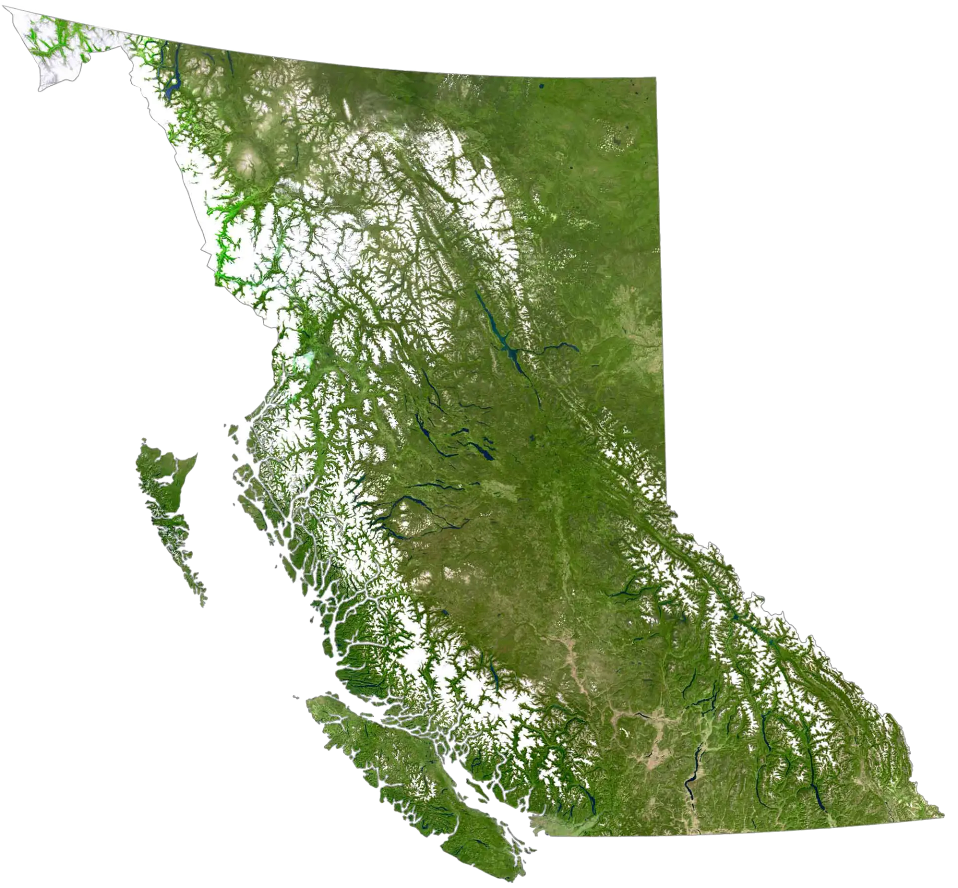
A 100%-owned, road-accessible copper district in the Purcell Basin of southeastern British Columbia.
Koocanusa overview
Koocanusa Copper Project
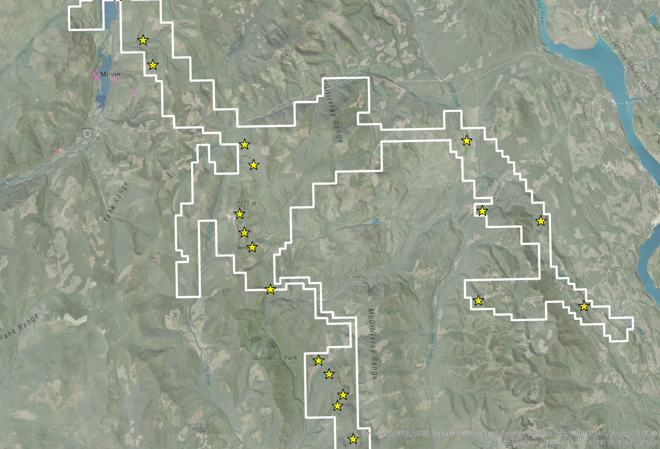
≈360 km²
Year-round access
Forest service roads on three sides; 30–45 minutes south of Cranbrook, BC
Fully permitted
Multi-year, area-based drill permit covering up to 200 drill sites
50km corridor
Western copper-enriched trend defined by mapping, geochemistry and geophysics
World class mining endowment
Sullivan Mine (Kimberley, BC) Teck Coal operations (Sparwood, BC)
The project in brief
- 01
Flagship project with sedimentary copper potential, located 30 kilometers south of Cranbrook in British Columbia.
- 02
Road accessible continuous mineral tenure 100% owned by Aeonian.
- 03
Sixteen targets of anomalous copper following prospective stratigraphy, with historic surface rock samples returned up to 0.98% copper from sedimentary-hosted units.
- 04
Western targets associated with known copper showings and down-dip extensions identified during a USGS Critical Minerals survey.
- 05
Historic drilling intersected 1.6 meters of 0.85% copper.
- 06
Over $420,000 of exploration expenditures spent since 2020.
Historic and surface sample results are indicative of mineralisation at the point sampled and are not necessarily representative of the mineralisation hosted on the property.

The story
has changed
Koocanusa is evolving from a series of individual copper showings into a well-defined, district-scale sediment-hosted copper system — confirmed by the Company’s first drill program and a decade-scale program of mapping, sampling and geophysics.
Global significance

Koocanusa Copper
B.C, Canada, Aeonian Resources
350 km2 land package with 50km long copper trend in Creston-Revett Formation.
Average Cu Grade / Range: 0.2 – 1.0%
Rock Creek / Montanore (Libby)
Montana, USA, Hecla Mines
Recently amalgamated mines, ongoing permitting & development.
Average Cu Grade / Range: 0.3 – 1.0%
Copperwood / Whitepine
Michigan, USA, Highland Copper
Underground mine processing 6,800 metric tonnes of ore per day.
Average Cu Grade / Range: 1.5%
Rudna
Poland, Ivanhoe-Zijin JV
One of the longest running Sed-Cu mines in the world.
Udokan
Russia, Udokan Copper Mines
One of the largest undeveloped mines with a 70+ year mine life.
Average Cu Grade / Range: 1.05%
Ravar
Iran
Sedimentary deposits 3-10m thick and several kilometres long.
Average Cu Grade / Range: 0.5 – 4%
Kamoa-Kakula
Zambia, Ivanhoe-Zijin JV
One of the highest grade Sed-Cu mines in the world. Operational to 2038.
Average Cu Grade / Range: 3 - 5%
Stuart Shelf
NSW, Australia, Government JV
Venture to expand significant untapped Sed-Cu deposit.
Average Cu Grade / Range: 1.9%
15%
of the known global copper inventory
- 01Potential for lateral continuity
- 02Predictable stratigraphic controls
- 03Growing global relevance
- 04Represents a major global copper source
- 05Bulk underground mining compatibility
- 064th largest source of silver
* Comparisons are conceptual/geological analogues only and not necessarily indicative of mineralization at Koocanusa.
~50 km copper trend
- 01
Setting
Proterozoic Purcell Basin — a 50 km copper corridor following key stratigraphy and contacts.
- 02
Stratigraphic traps
Middle Creston sandstones/siltstones form porous traps; impermeable layers and faults act as barriers and conduits for Cu-bearing fluids, giving near-surface copper vertical continuity along feeder structures.
- 03
Structural controls
Folds and faults dominate the region, controlling fluid flow and copper emplacement. The McGillivray Fault is interpreted as a key feeder structure; fold hinges and domes act as structural traps.
- 04
Exploration vectors
Conductive zones and magnetic highs align with feeder faults and Cu anomalies, which cluster along fold limbs and hinges — clear structural control, and multiple drill-ready targets.
Discover the project with us
This interactive map allows you to explore the property with us. As we collect data in the field or acquire knowledge through research we update the map so you get to see all the data in one place.
Tips: Clicking on a layer or feature will “pop up” more information. You can view additional layers by accessing the legend (>>) in the top left corner. Turn layers on and off using the check boxes. Zoom in and out of the map using the +/- symbols. Note that some layers will only be visible when at a suitable zoom level.
Note: The geological layer has been provided by the BC Geological Survey and was completed on a regional level and as such is a generic view and will not necessarily align with field observations. We will be updating this with more accurate and high resolution maps as field investigation progresses.
Where the district is tested next
Jake is one locality within a much larger system. The corridor carries the same stratigraphy and structural controls along its length.

Drilled — 2026, five holes
Jake
First systematic subsurface test of the western copper corridor. Copper-bearing Revett-equivalent quartzites confirmed from surface into the subsurface, with two distinct mineralised bands intersected.
98 copper occurrence sites are classified along the western corridor: 2 drilled, 46 sampled, 50 prospected and unsampled.
Historic and surface sample results are indicative of mineralisation at the point sampled and are not necessarily representative of the mineralisation hosted on the property.