Location & Geology
Road-accessible ground in the Purcell Basin, 30 to 45 minutes south of Cranbrook, British Columbia.
An ancient basin, still legible in the outcrop
The project covers rocks of the Purcell Supergroup — the Canadian continuation of the Belt Basin of Montana and Idaho. Copper and silver occur within permeable quartzites and sandstones of the Creston and Sheppard formations, the equivalents of the Revett Formation south of the border.
In northwest Montana that same stratigraphy hosts the Rock Creek and Montanore copper-silver deposits. At Koocanusa, the stratigraphy is exposed and mappable at surface along more than 70 km, which allows the system to be studied in outcrop before it is drilled.
km western corridor
copper occurrence sites
km McGillivray corridor
Regional structural control
minutes from Cranbrook
A re-imagining of an ancient geological system
The Koocanusa Project is an exciting re-imagining of an ancient geological system located 30km southeast of Cranbrook in British Columbia. The project is road accessible year round and enjoys a favorable position close to infrastructure and supply centers.
Hosted in some of the oldest rocks in British Columbia, Koocanusa has both sedimentary copper and epithermal gold and mercury showings with potential for additional cobalt and silver. Placer gold has been panned from Gold Creek since the 1860’s although the source of the gold has not been found. The region was last explored in the 1980’s, and since that time equivalent rocks in the United States have been found to host economic copper, cobalt and silver deposits that are currently being mined or are in the permitting process.
Aeonian is trawling historical data, academic papers and economic assessments of similar projects to build a new model. This coupled with advances in technology, broad geochemical sampling and detailed mapping is increasing our understanding – and the potential – of Koocanusa.
The rocks at Koocanusa are part of the Purcell Basin Supergroup which underlie southeastern British Columbia and stretch into Montana and Idaho. There are similarities at Koocanusa to several significant mines in Montana, where Cu-Ag is hosted in porous sandstone beds.
Rock Creek (Hecla)
Inferred resource (2020) of 100 million tons grading 1.5oz/tn silver, 0.7% copper (148 million ounces of silver and 659 tons of copper).
Montanore (Hecla)
Inferred resource (2020) of 112 million tons grading 1.6 oz/tn silver and 0.7% copper (183 million ounces of silver and 759,420 tons of copper).
Preliminary prospecting at Koocanusa has highlighted anomalous copper trends that run parallel to bedding in coarser siltstone and sandstone layers, with at least two prospective horizons. In addition to the sedimentary-hosted copper, there is evidence of overprinting epithermal veins which may be contributing to the anomalous historic gold occurrences noted on the claims.
NOTE: The above is for comparative geological purposes only and do not necessarily reflect the mineralization,grades or recoveries at Koocanusa. Further work and studies need to be completed at Koocanusa before the full potential can be realized.
Sed-hosted copper deposits
Creston-Revett deposit model
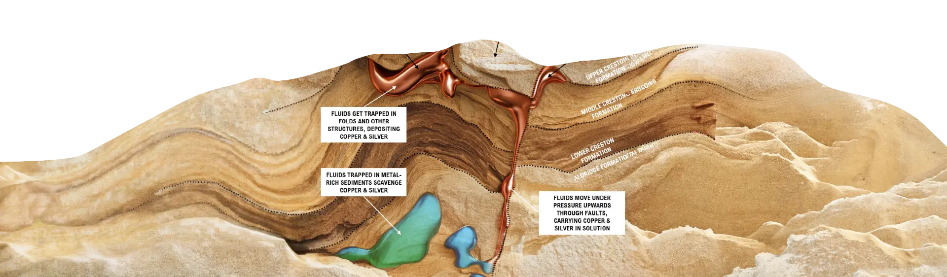
- Formed by copper-bearing basin fluids moving through permeable sediments
- Mineralization concentrated in porous, stratabound horizons
- Structural traps (folds & faults) help focus copper deposition
- Typically shallow-dipping, laterally continuous Cu-Ag ± Co systems
Long life, underground mines
- Laterally continuous “beds” suitable for bulk underground mining
- Predictable geometry & strong continuity
- Clean metallurgy with simple processing characteristics
- Long-life, district scale assets with 20-30+ year mine life potential
- Smaller surface footprint relative to large open pits
* Comparisons are conceptual/geological analogues only and not necessarily indicative of mineralization at Koocanusa. Information sourced from Hecla website December 2025.
- Copper-bearing Middle Creston outcropping at surface
- Younger unmineralized lithology at surface
- Anomalous copper at surface along faults
Sixteen established target zones
The Koocanusa Project has a total of sixteen known or emerging targets within its boundaries, all of which relate to copper mineralization potential.
Many of the zones are highly underexplored and so represent a great opportunity for discovery.
Sedimentary copper deposits are like a “string of pearls” – the mineralization can extend for many kilometres across the basin, but we need to find the “traps” that allowed metal-bearing brines to concentrate into smaller ore bodies. Structures such as folds are great traps and have been noted in several locations, whilst deep faults can provide old fluid conduits for the brines to flow along and concentrate.
Better locations are rare
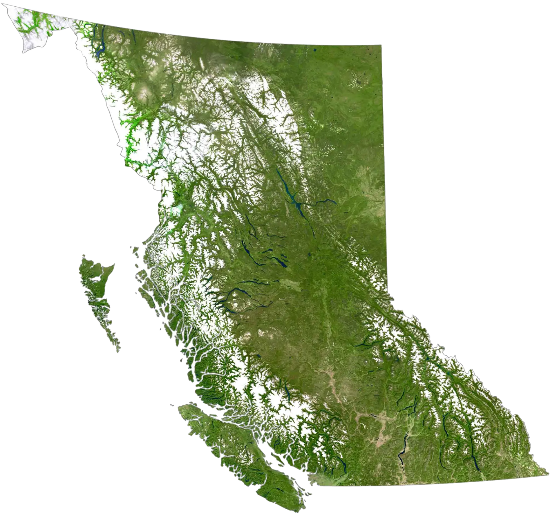 British ColumbiaPrince GeorgeKamloopsKelownaVancouverVictoriaCranbrookKoocanusa
The Koocanusa Property boasts a fantastic location, road accessible with a long season and with well developed support services and infrastructure close by.
British Columbia
British Columbia is a province on the west coast of Canada. It is regularly thought of as one of the best mining jurisdictions in the world with its openness to exploration activity and mining coupled with rigorous environmental policy, sustainability programs and First Nations inclusion.
Access
The closest town to Koocanusa is Cranbrook, which is a 9 hour drive / 1.5 hour flight from Vancouver (4 hour drive or one hour flight from Calgary). From Cranbrook the site is accessed in 45 minutes by Highway 3 then the Newgate-Kikomun Forestry Road. The project area is serviced by an extensive and well maintained network of roads and trails.
Local resources
Cranbrook and the surrounding area has a long history of mining and forestry services and is therefore extremely well set up for supplies, services and experienced personnel. North of Cranbrook in Kimberly, the Sullivan Mine operated for over 90 years, whilst Teck has a large coal operation to the east at Sparwood. The area has active interest groups including the East Kootenay Chamber of Mines and the regional government office for the Ministry of Energy, Mines and Resources.
Climate and physiography
Cranbrook features a humid continental climate, and Environment Canada reports Cranbrook as having the most sunshine hours of any BC city. It is fairly dry throughout the year, experiences some of the lightest wind speeds year-round, has few foggy days, and has among the highest average barometric pressure of any city in Canada. Mean daily temperatures range from −8.3 °C (17.1 °F) to 18.2 °C (64.8 °F). Overall, its climate is extremely similar to that of Kelowna, in the nearby Okanagan Valley to the west – especially in regard to precipitation patterns and total monthly accumulation.
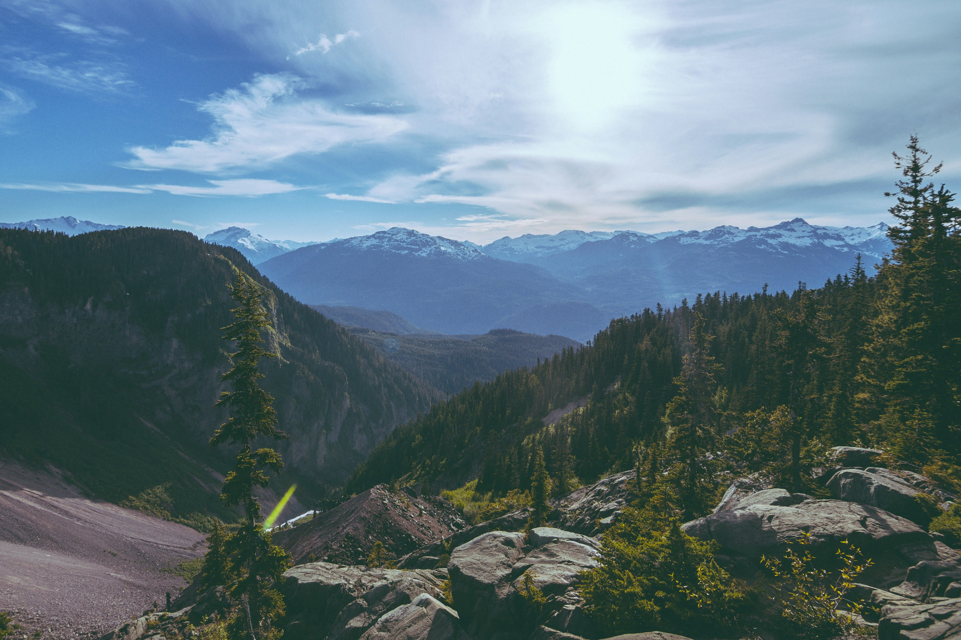
The Kootenay Region is mountainous; encompassing four maintain ranges, from east to west: the Rocky Mountains, the Purcell Mountains, the Selkirk Mountains, and the Monashee Mountains. The natural features of the region contribute to an economy strongly rooted in natural resources (e.g., forestry, mining, hydroelectric power generation, and tourism).
A high level of biodiversity exists in the region. Plant communities include species such as western hemlock, western red cedar, and lodgepole pine. Wildlife is diverse, characterized by some specific species that have close association with areas of low human influence such as: grizzly bear, gray wolf, marten, wolverine, and mountain caribou, as well as many others.
The five ingredients for sediment-hosted copper
Most of the favourable stratigraphy at Koocanusa is not ore — economic mineralization forms only where several of these ingredients coincide. Exploration is now focused on finding those intersections district-wide.
Faults moved the fluids; stratigraphy decided where they stopped
Regional corridors such as McGillivray focused basin fluids through the stratigraphic pile, while reducing traps and permeability contrasts controlled where copper was deposited.
Exploration to date
Host Rocks
Creston and Sheppard formation quartzites and sandstones: permeable, reactive, and traceable across the district.
Mineralogy
Chalcopyrite, bornite and chalcocite, with pyrite marking the outer parts of the replacement sequence.
Analogues
Rock Creek and Montanore, northwest Montana — Revett-hosted copper-silver deposits in the same basin.
References to other properties and deposits are provided as geological context. Mineralisation at those properties is not necessarily indicative of mineralisation at the Koocanusa Project.